

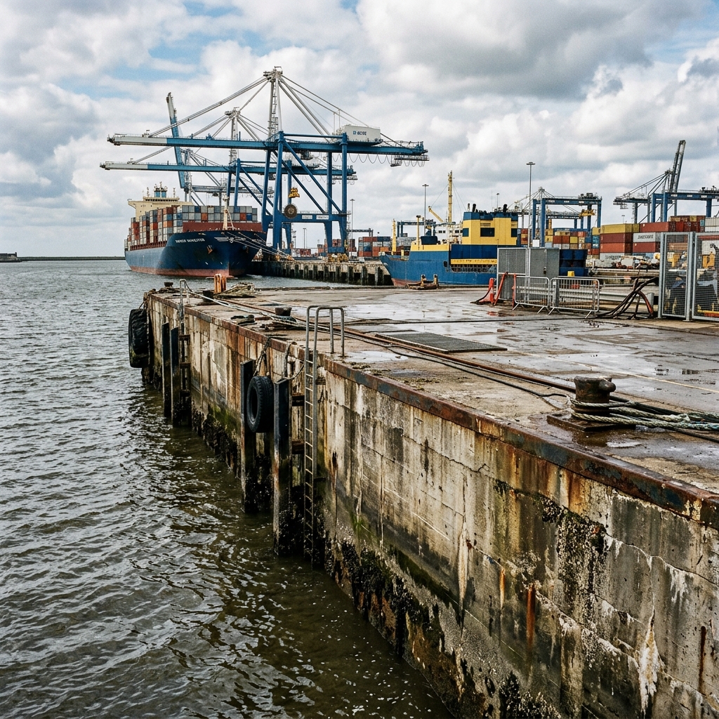
Piers, docks & seawall inspection
Chloride-induced corrosion degrades marine concrete faster than any other environment. Map corrosion potentials in splash and tidal zones against RILEM TC 154-EMC thresholds, and build a spatial record with 3D LiDAR.
Built for the marine environment
Marine inspection presents access, tide and corrosion problems all at once. The platform is designed to work inside all three.
Corrosion mapping (RILEM TC 154-EMC)
Tidal and splash zone surveys with chloride-specific RILEM thresholds applied automatically.
Moisture & humidity monitoring
Track moisture in concrete and timber pile caps, with RH monitoring for enclosed pier areas.
3D LiDAR scanning
Capture pier geometry, cap beam profiles and pile head condition as a spatial record.
Photo documentation with AI
Document spalling, crack patterns, marine growth and exposed rebar with AI-assisted tagging.
GPS-tagged measurement grids
Every test spot is GPS-stamped, so re-inspection in the same tidal window is straightforward.
Condition trend reports
Compare chloride-induced progression across annual cycles with trend heatmaps.
Inspect your marine assets with confidence
Request a demo designed around tidal zone and marine infrastructure inspection workflows.